Franklin Mountains Virtual Fieldtrip
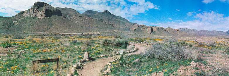
Below: Aerial view of Franklin Mountains, which uplift and expose Precambrian and early Paleozoic rocks that are buried many thousands of feet below the surrounding valley deposits (Hueco and Rio Grande bolsons).
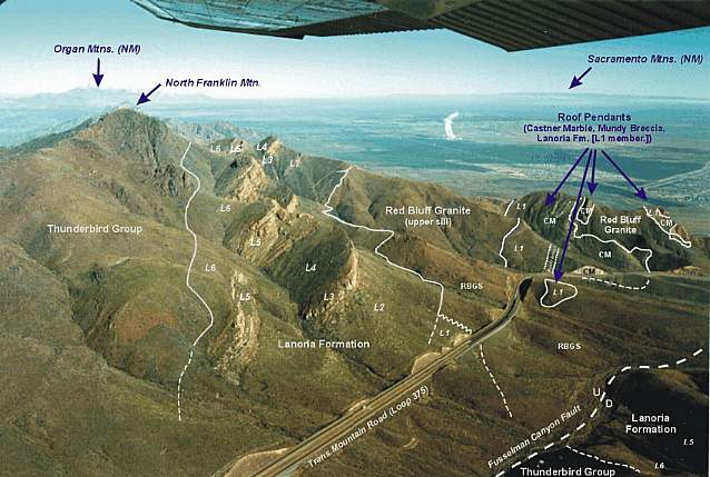
Above image created by John Martin Seeley back in 1998 as part of his Ph.D. dissertation work (completed in 1999) at UTEP, entitled "Studies of the Proterozoic Tectonic Evolutions of the Southwestern United States",
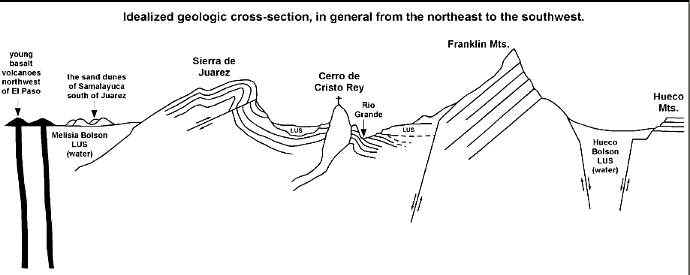
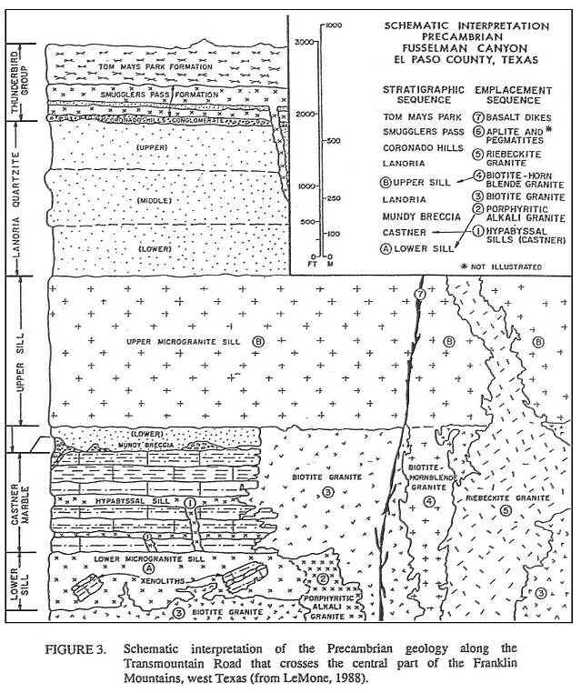
Above: Cross section of region and schematic interpretation of geology.
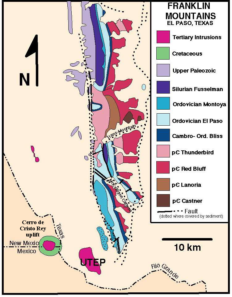
Above: Simplified geologic map of Franklin Mountains (modified source: UTEP).
Red Bluff Granite outcrop on east side of Franklin Mts. Image by Kimball, 2005.
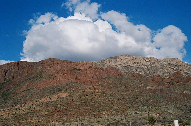
East side of Franklin Mts., looking north at Lanoria Formation exposures. Image by Kimball, 2005.
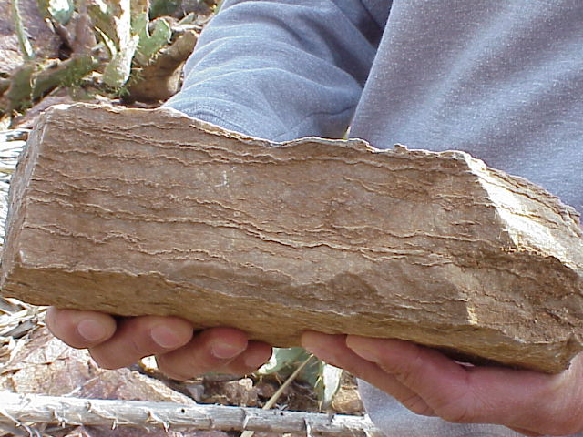
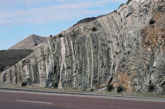
Lanoria quartzite (looking north from Trans Mountain Road). Image by Kimball, 2005.
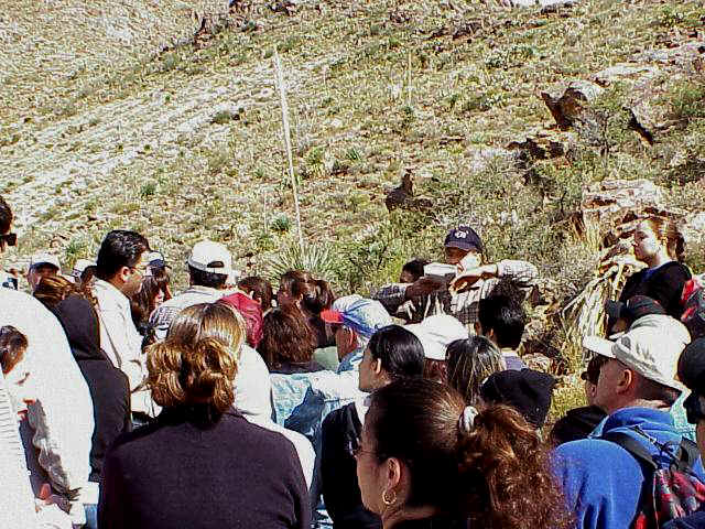
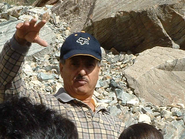
Dr. Abushagur describing describing tectonic deformation of Lanoria quartzite in background. Image by Cornet, 2004.
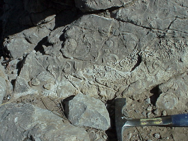
Algal mat stromatolites from Lanoria quartzite. Image by Cornet, 2004.
How do stromatolites form?
In what type of environment do they form?
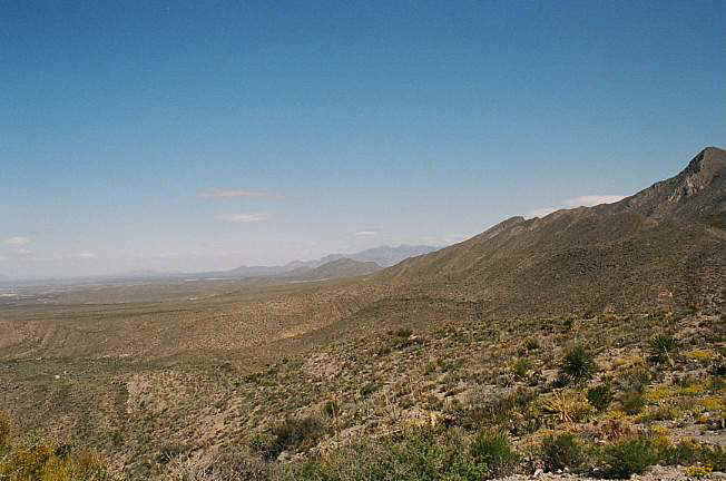
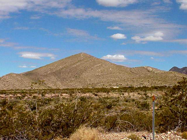
West side of Franklin Mts., looking north. Image by Kimball, 2005.
West side of Franklin Mts., looking west. View of Permian and Cretaceous onlap. Image by Kimball, 2005.
Deformed and folded Permian Hueco Limestone on western flank of Franklin Mountains (at Franklin Mts. State Park). Image by Cornet, 2004.
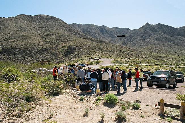
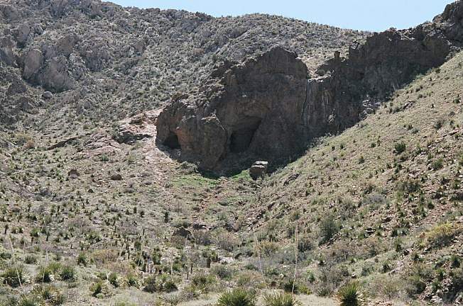
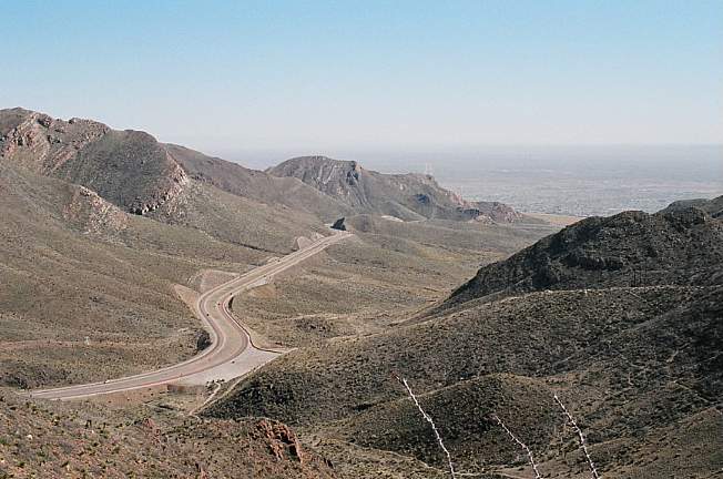
Franklin Mts. State Park. Permian Hueco Limestone outcrops around where people are standing. Aztec caves can be seen near top of mountain in the distance (arrow).
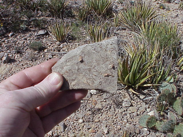
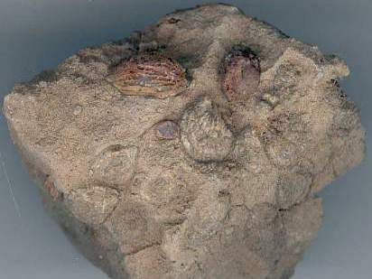
Early Permian shell fossils (breccia) in Hueco Limestone at Franklin Mts. State Park. Image by Cornet, 2004.
Early Permian gastropod fossils in outcrop below Aztec caves. Image by Cornet, 2004.
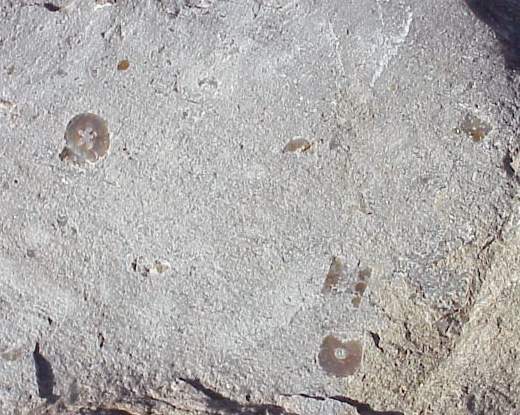
Early Permian fusulinids (giant foraminifera). Image by Cornet, 2004.
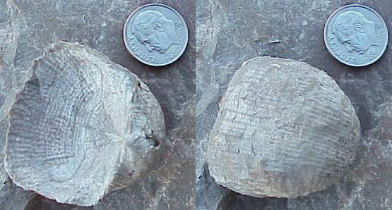
Early Permian brachiopod (Reticulatia sp.) from the Hueco Limestone. Image by Cornet, 2004.
Crinoid stem segments from the Hueco Limestone. Image by Cornet, 2004.
Aztec caves in Thunderbird Rhyolite, west side of Franklin Mts. Image by Kimball, 2005.
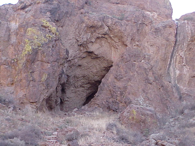
Highly deformed Thunderbird Rhyolite, with indications of layering to the right of the cave entrance.
Why would caves form in rhyolite?
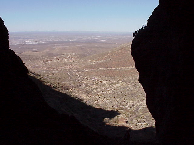
View from Aztec caves. Image by Sharon Eby, 2005.
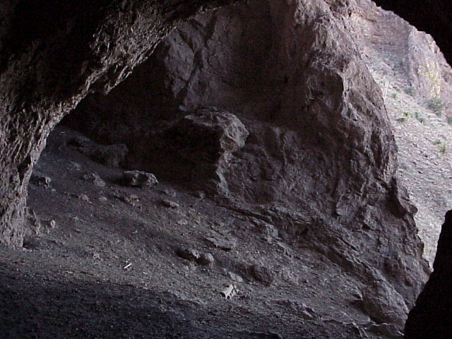
View inside larger Aztec cave. Image by Sharon Eby, 2005.
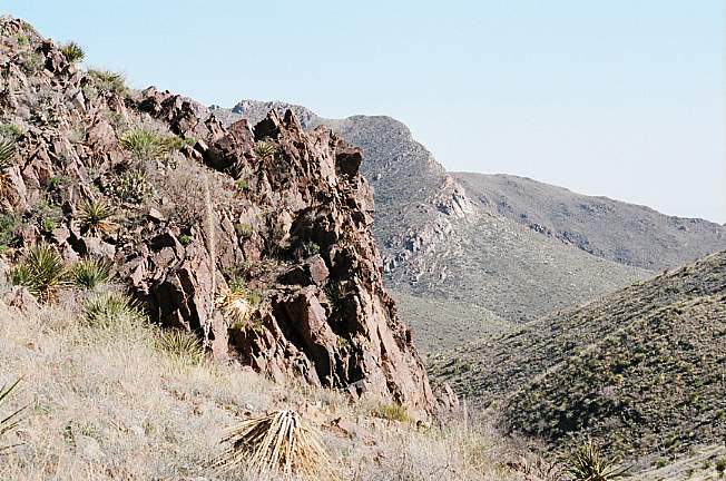
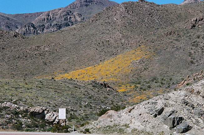
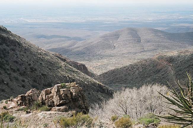
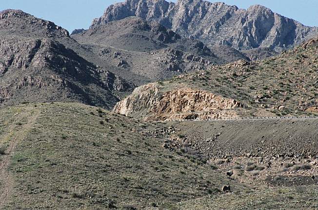
View of Trans Mountain Road ascending east side of Franklin Mountains, showing highway exposures of Lanoria Fm. Image by Kimball, 2005.
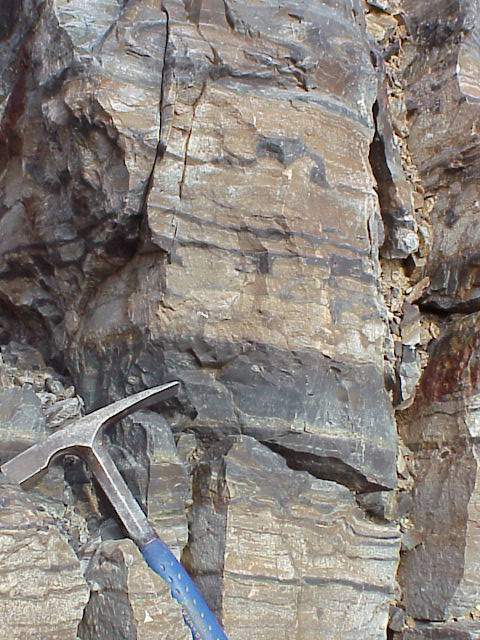
Outcrop of Castner Marble and Mundy Breccia along Trans Mountain Road (close ups below). Image by Kimball, 2005.
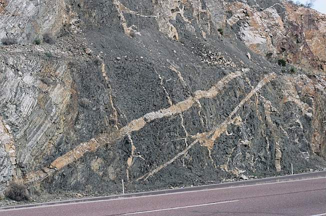
Castner Marble (left), and black microgranite sill (right), all of which are intruded by light-colored igneous sills and dikes.
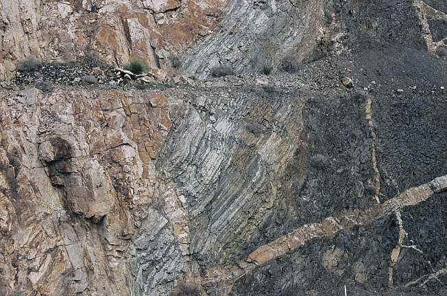
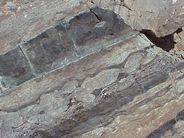
Mundy Breccia (left), Castner Marble (center), and black microgranite sill (right) intruded by light-colored igneous sills and dikes.
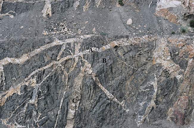
What is the sequence of formation in the above picture?
Which came first, second, and third?
Castner Marble (left) and Mundy (basalt) Breccia (right) exposed along Trans Mountain Road (Rte. 375).
Dr. Abushagur describing formation of Castner Marble in background. Image by Sharon Eby, 2004.
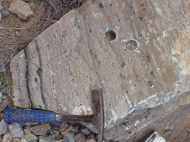
Castner Marble close-up. Image by Sharon Eby, 2004.
Chert bands within Castner Marble. Image by Sharon Eby, 2004.
Garnets within Castner Marble,
What does the presence of garnet indicate?
What is the significance of the two shallow drill holes in this block of marble?
Web page by Bruce Cornet, Ph.D., El Paso
Community College.
Web page first created on 12 April 2005; modified on
12/18/2022.